-
May 4th, 2015, 10:38 AM
#1
 Combermere river between Blackfish Bay and Hydes Bay
Where can I go from here by boat? This will be my first time in the area and after looking at the map it appears I can get to Blackfish Bay, Hydes Bay, and Lake Kamaniskeg all the way up to Barry's Bay, and it also looks like I can go across Kamaniskeg to a river to get to a dam just before it goes in Bark Lake.
Am I right in assuming this?
Thanks!
-
May 4th, 2015 10:38 AM
# ADS
-
May 4th, 2015, 10:45 AM
#2
That what you call the Combermere river, I assume is the Madawaska.
You can access quite a bit of water from Kaminiskeg. There are rapids between Bark Lake and Kaminiskeg, and the dam where the Madawaska flows out of Bark Lake (not in). Also, lots of rocks at the mouth where the Madawaska flows into Kaminiskeg, and very shallow (keep to the North side) where it flows out of Kaminiskeg.
You can also go down to about 1km below Negeek Lake (hydro dam) and up the York River (Conroy Marsh) and about 3 kms above the top of the marsh and little Mississipi (you'll need a map and luck to find its mouth in Conroy Marsh).
There are public boat launches in both Combermere and Barry's Bay.
Last edited by werner.reiche; May 4th, 2015 at 10:54 AM.
-
May 4th, 2015, 10:52 AM
#3
Thanks Werner, so you can easily get from Combermere to Barry's Bay by water then. Do Combermere and Barry's Bay have gov't docks if I want to get out and walk the mean streets of these towns?
A satellite shot on Google maps (while in the boat) should hopefully help me out with these hidden spots?
-
May 4th, 2015, 11:24 AM
#4

Originally Posted by
werner.reiche

That what you call the Combermere river, I assume is the Madawaska.
Yeah, I guess that is the Madawaska, although it doesn't indicate what river it is on Google. I've been up the other end of the Madawaska from Bark Lake (where Opeongo and Madawaska split) but never down around this end.
-
May 4th, 2015, 12:12 PM
#5
It's the Madawaska all the way down to Arnprior....
You can get from Barry's Bay to Comberemere, yes. But Kaminiskeg has some rocks in it. You might want to get a map of it before running it. Also, the lake is shallow where the Madawaska flows out. I'm assuming you're taking a small boat.
Combermere has gov't docks. Across and a bit down from the general store.
I think Barry's Bay has gov't docks as well, but am not sure about that.
-
May 4th, 2015, 01:47 PM
#6
Has too much time on their hands
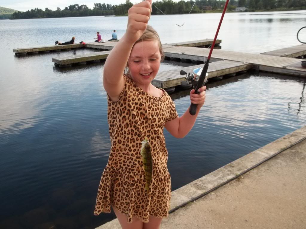 Barry's Bay does indeed have government docks. I take my granddaughter fishing there.
Last edited by GoldenLakePete; May 4th, 2015 at 01:52 PM.
Member of the National Firearms Association (NFA).
-
May 4th, 2015, 01:55 PM
#7
Werner and Pete, thanks for the replies and help.
Great pic of your grand daughter Pete! Is that a Kamaniskeg jumbo? lol
-
May 4th, 2015, 08:29 PM
#8
uploadfromtaptalk1430789183442.jpg
The public launch in Barry's Bay is at the north end just to the right of mask island.
How is it one careless cigarette can cause a forest fire, but it takes a whole box of matches to light a campfire?
-
May 8th, 2015, 06:18 PM
#9
You can spend the whole summer casting the shoreline and never fish the same spot twice..... Or you can spend all day in a kayak running down from the bridge below the Bark Lake dam into Kaminiskeg. They used to have wite water raft trips down this stretch. A beginners day compared to the one on the Ottawa....
i often find do the MNR Fish-On site better than google maps.
-
August 15th, 2015, 03:32 PM
#10
Spent the last week in Combermere and covered a lot of water. Went all the way down to where the Madawaska splits into the Mississippi and York rivers, but stopped there. Did the other end across Lake Kamineskeg to the rapids. Found some nice beach areas for the dog and had great weather.
I recognize that dock Pete. Checked out the entire area in the truck as well including going around Bark Lake. Very nice area. I've been to the Madawaska side before but this was my first time in the part of the Madawaska around Combermere.


 Reply With Quote


